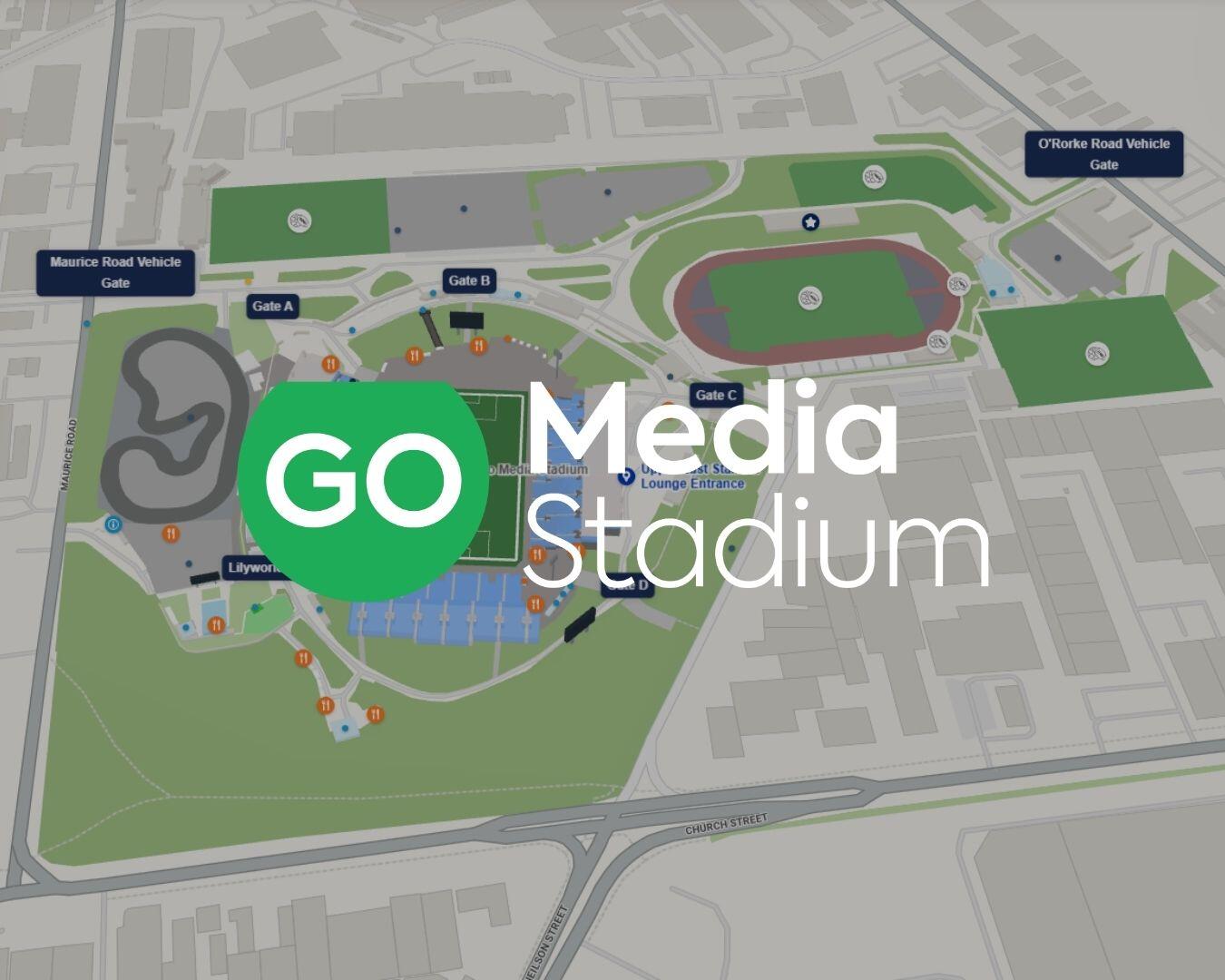
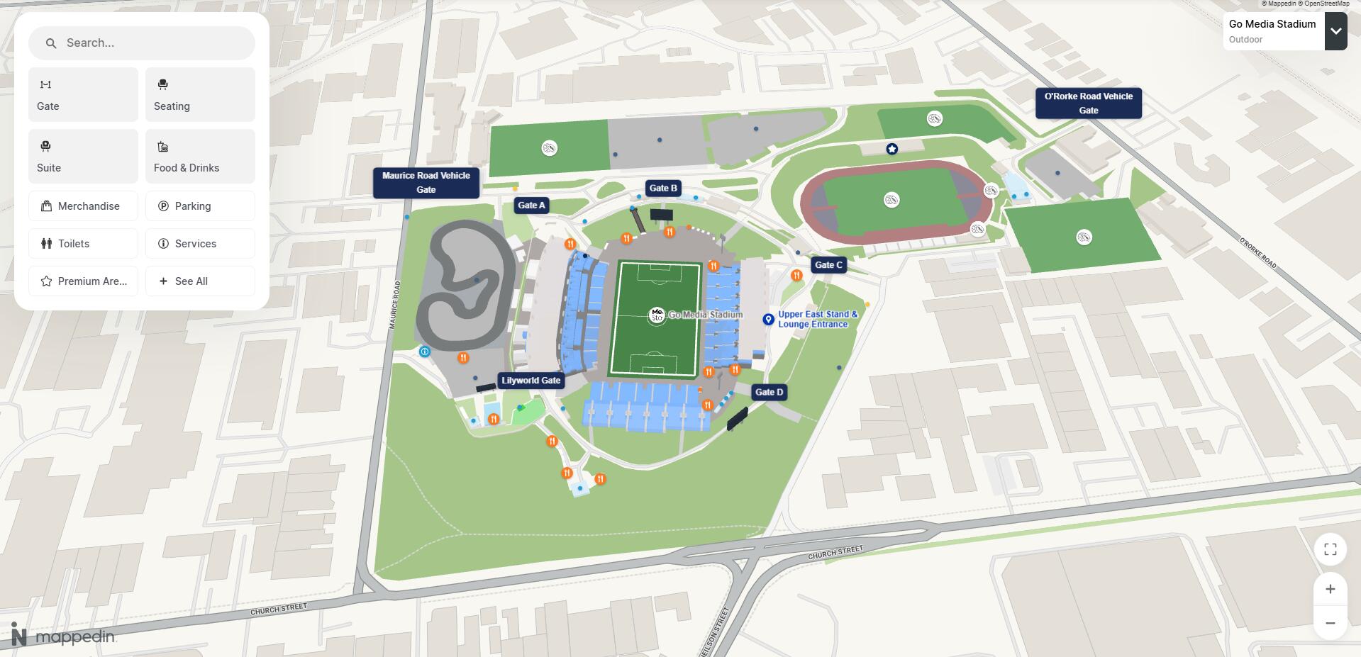
Here’s what to expect from the new Go Media Stadium digital map:
- Easily find your seat
- Find your bars, food options, toilets and other facilities around the venue
- An accessible journey planner for mobility impaired patrons
- Step-by-step navigation with an estimated journey time
- Key transport info included outside the venue – trains, car parks and taxi drop offs
- Other points of interest – from our corporate spaces to our murals, to water stations and more
Plan your trip
Whether it’s your first visit to Go Media Stadium or you’re a regular, you can plan your trip from your gate to your seat via our new map.
Mobile Guide
Wondering where to go next, or planning your journey home? Take the mobile guide with you and use it inside the stadium.
Step-by-step guide
Whether it’s to the bar or the toilet, to the corporate suites or the ticket office - the new map will give you a step-by-step breakdown how to get there.
Accessibility planner
If you have mobility issues then plan your journey and simply flick the “Accessible” switch.
The route planner will now avoid stairs and use mobility aides like lifts where possible.
Discover more
Search for bars and food options near to your seat before you join the queues at half time.
Top tip: Fancy something specific to eat? Search “burgers”, “sushi”, “vegan food” etc. for options around the stadium.
Plan your exit
Ready to plan your exit route? Search for your car park, Penrose train station or the nearest Uber drop-off/pick-up zone - and we’ll take you there.
Try it for yourself
We want to make your visit to New Zealand’s best large venue easier - so if you have any feedback for our new map, then please let us know.